
Southeast Nebraska under Winter Storm Watch for New Year's holiday
Southeast Nebraska is now under a Winter Storm Watch from late Friday night into Saturday.
 By News Channel Nebraska
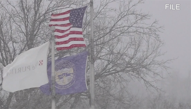
BEATRICE - As we approach the looming winter storm projected to impact the region this weekend, the picture is becoming a bit clearer.
The NWS Omaha and Hastings offices sent out situation reports on Thursday morning and southeast Nebraska is now under a Winter Storm Watch from late Friday night into Saturday.

The storm will likely arrive Friday night after 3:00 AM and could stick around into Saturday evening. The highest snow accumulation is expected to be south of I-80. The current models for the southeast portion of the state, show possible snow accumulation of four to six inches, some areas in severe southeast Nebraska possibly seeing upwards of eight inches. This could make travel difficult as wind gusts are projected to be in 25-30 MPH range, bringing the possibility of blowing snow and slippery road conditions.

Along with the snow, comes bitterly cold temperatures. Those planning New Year’s celebrations, might want to dress in layers. Saturday, the wind chills could drop into the -20 degree range. Northerly winds could be as high as 30 MPH in some areas. The coldest temperatures can be expected late Friday night into mid-morning Saturday, and again from Saturday night, into early Sunday morning.
The NWS did note that uncertainty remains in the forecast, so areas of the heaviest snowfall could change in future forecasts.